Exploring the Data Layers
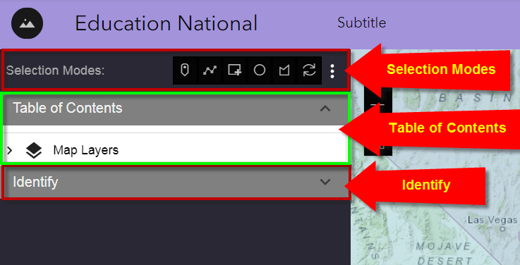
The Experience Builder UI has 3 main components:
-
Selection Modes
-
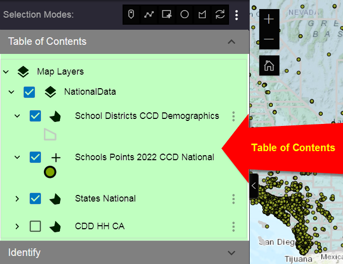
Table of Contents
-
Identify
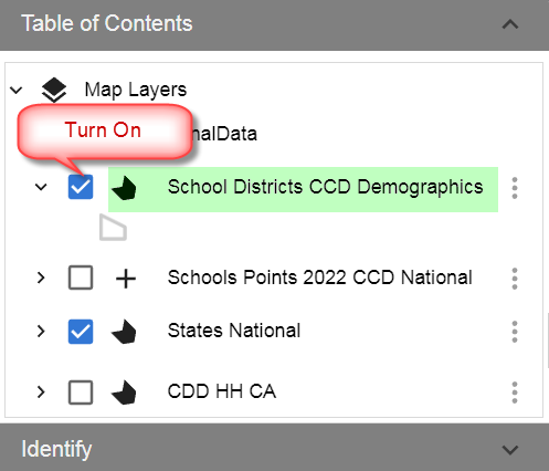
Expand Map Layers under the Table of Contents
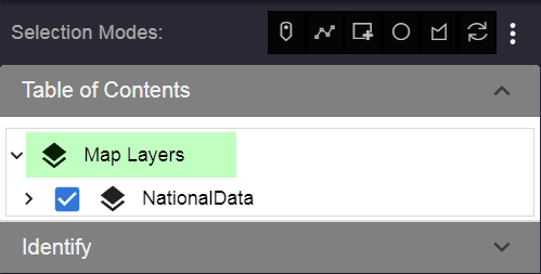
Expand NationalData to view the list of layers.
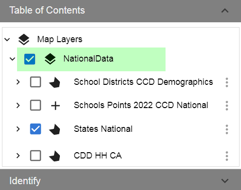
Expand School Districts.
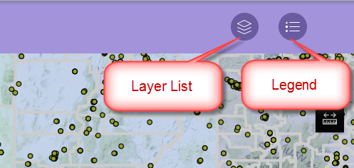
Notice how the Legend for the School Districts shows up.
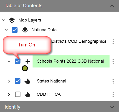
Turn on the School Districts Layer.
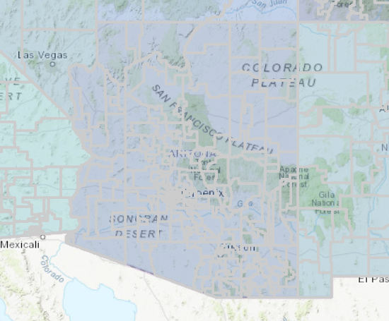
The School District boundaries are now visible in gray.
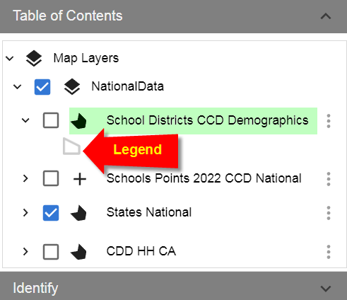
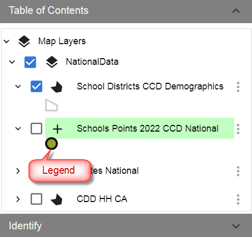
Expand the Schools Points Layer.
The Legend appears below.
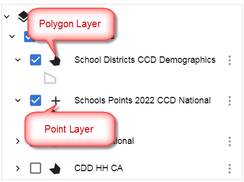
Notice there is a symbol in front of each layer name that indicates whether it is a point, polygon or line layer.
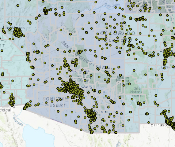
Turn on the Schools Points Layer.
The School Points are now visible on the map.
The Table of Contents within the Experience Builder replaces the standard Layer List and Legend Widgets.
You will explore the additional features available within the Table of Contents Layer Menu later in this guided tutorial.